
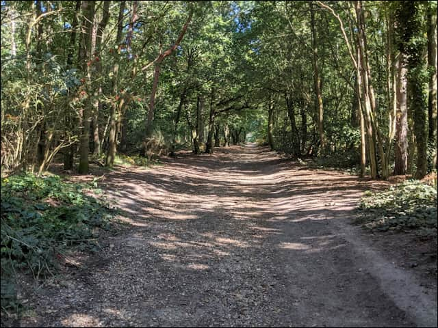
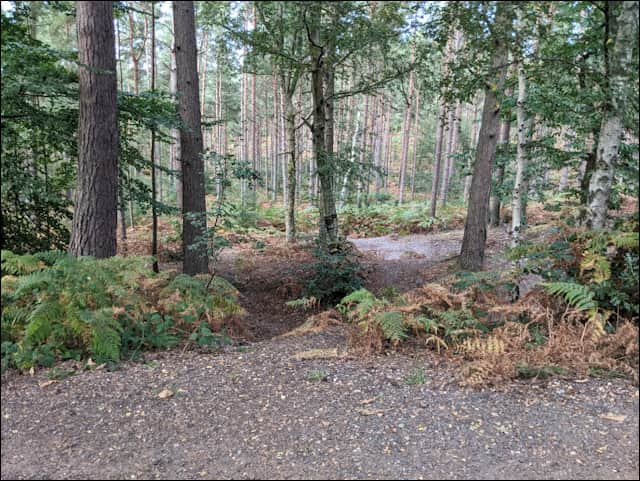
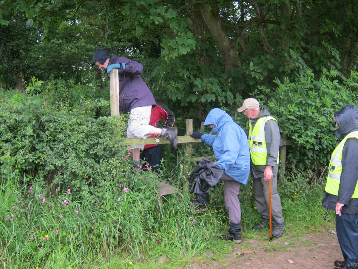
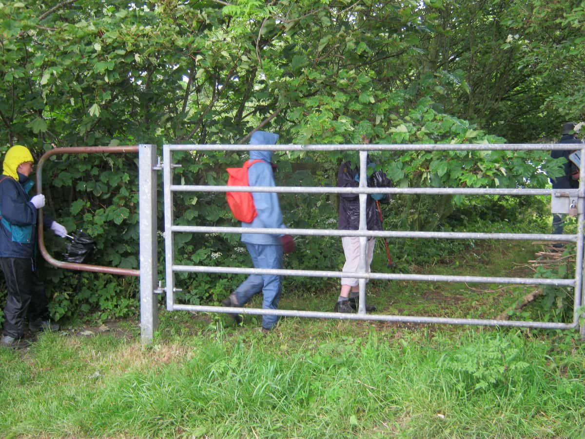
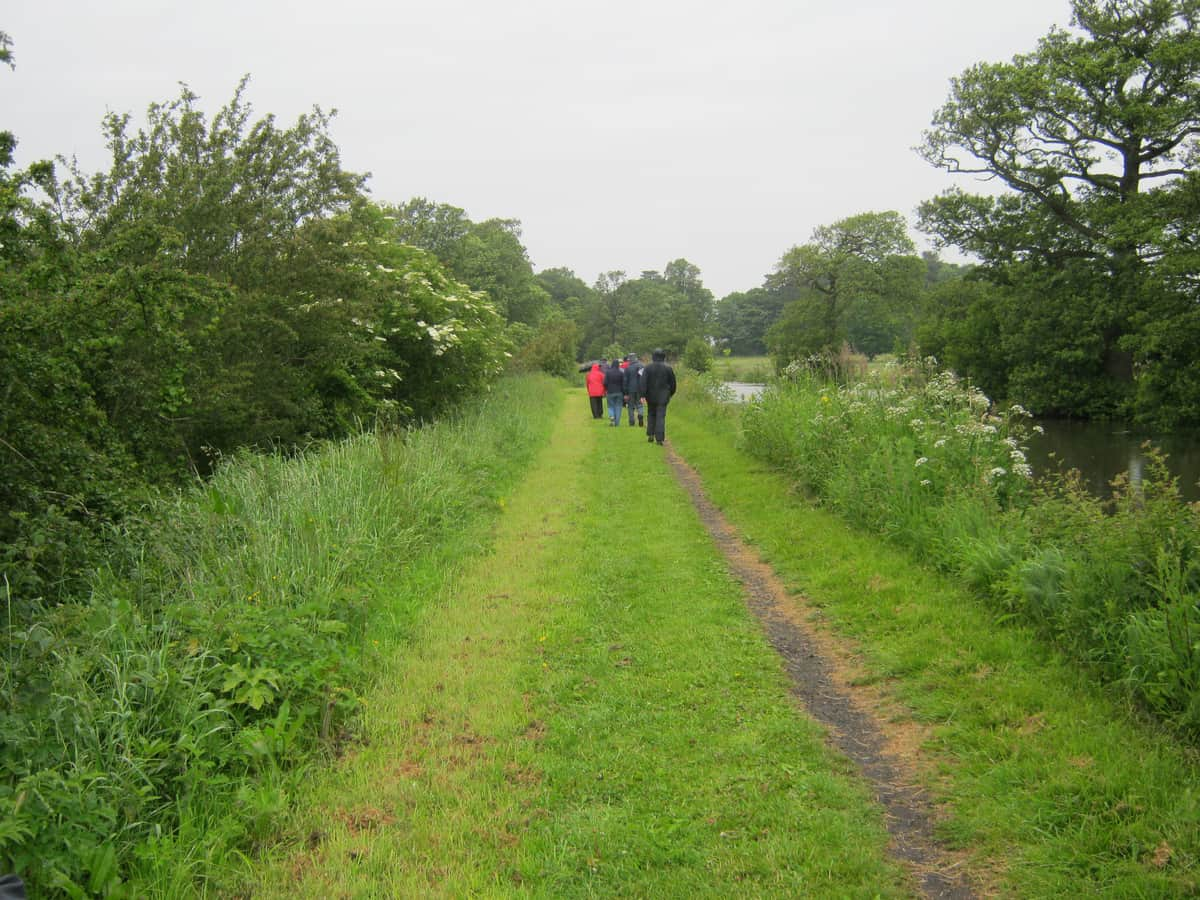
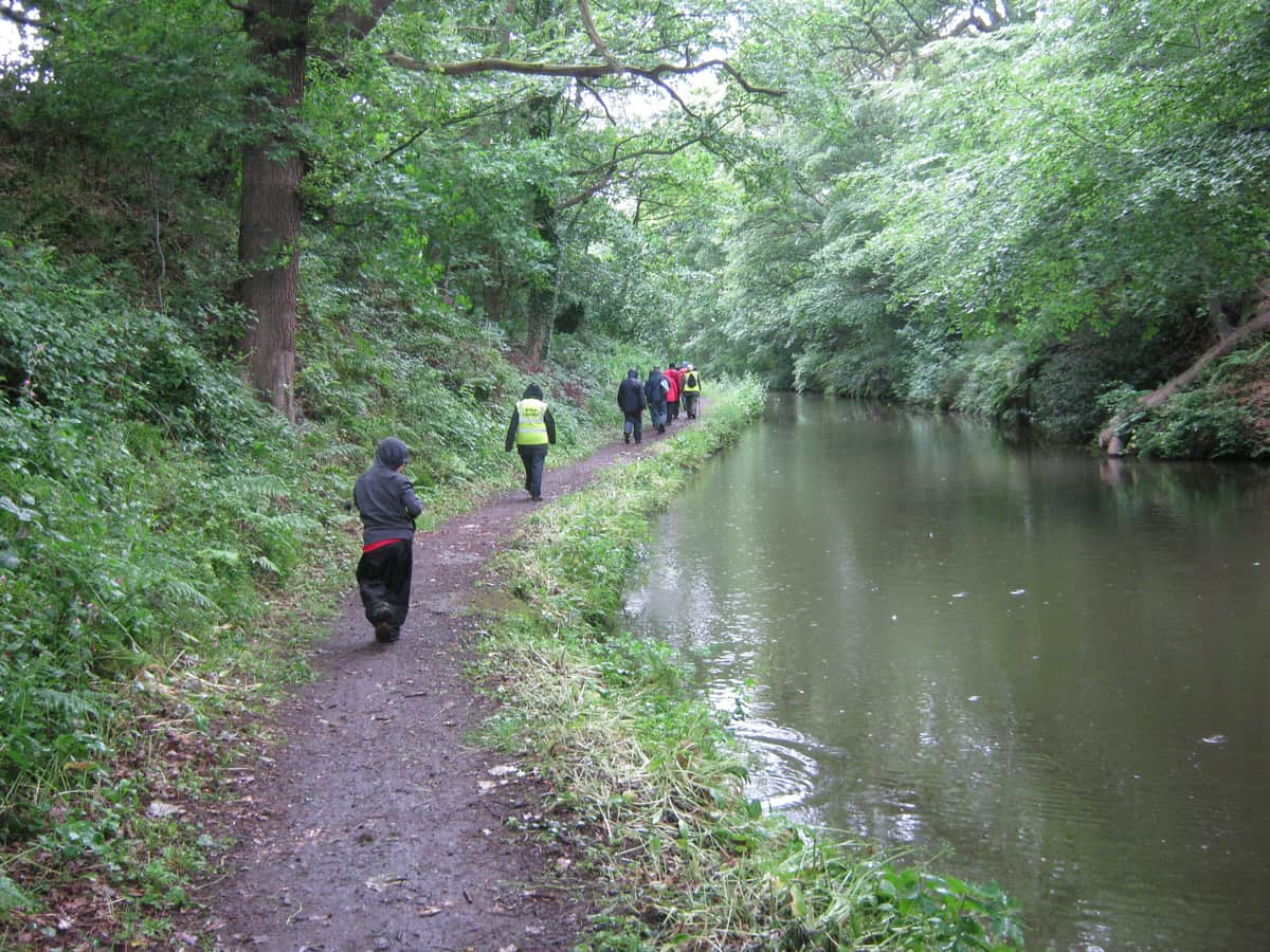
Lotsa, lotsa, lotsa mud…yuck.  Grand photos though.
3 Likes
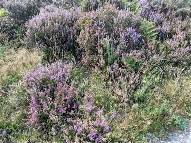
The walk is always the same area. I never get fed up with it. Only the character of the scenery changes. Signs of greenery starting to go…
8 Likes
My daily walk is in the local park. It’s a two mile stretch, part paved, and part trail.
The Veteran’s Memorial is at one end of the park, I say “hello” to some of our Vets whose photos and plaques are at the front. I know most of them or their families, some were classmates who died in Vietnam. Also, the ducks are on the river (last winter) that runs along the back side of the park.
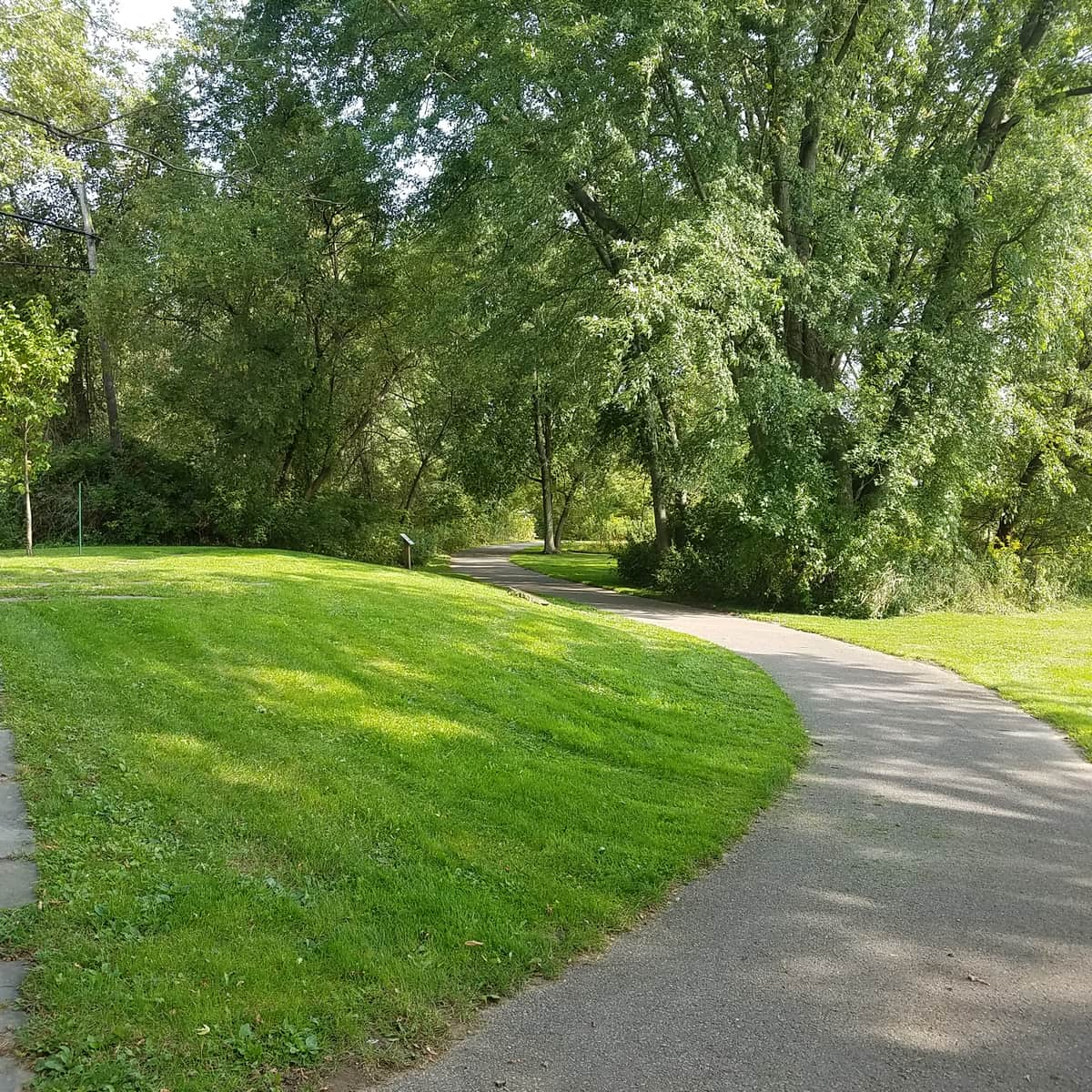
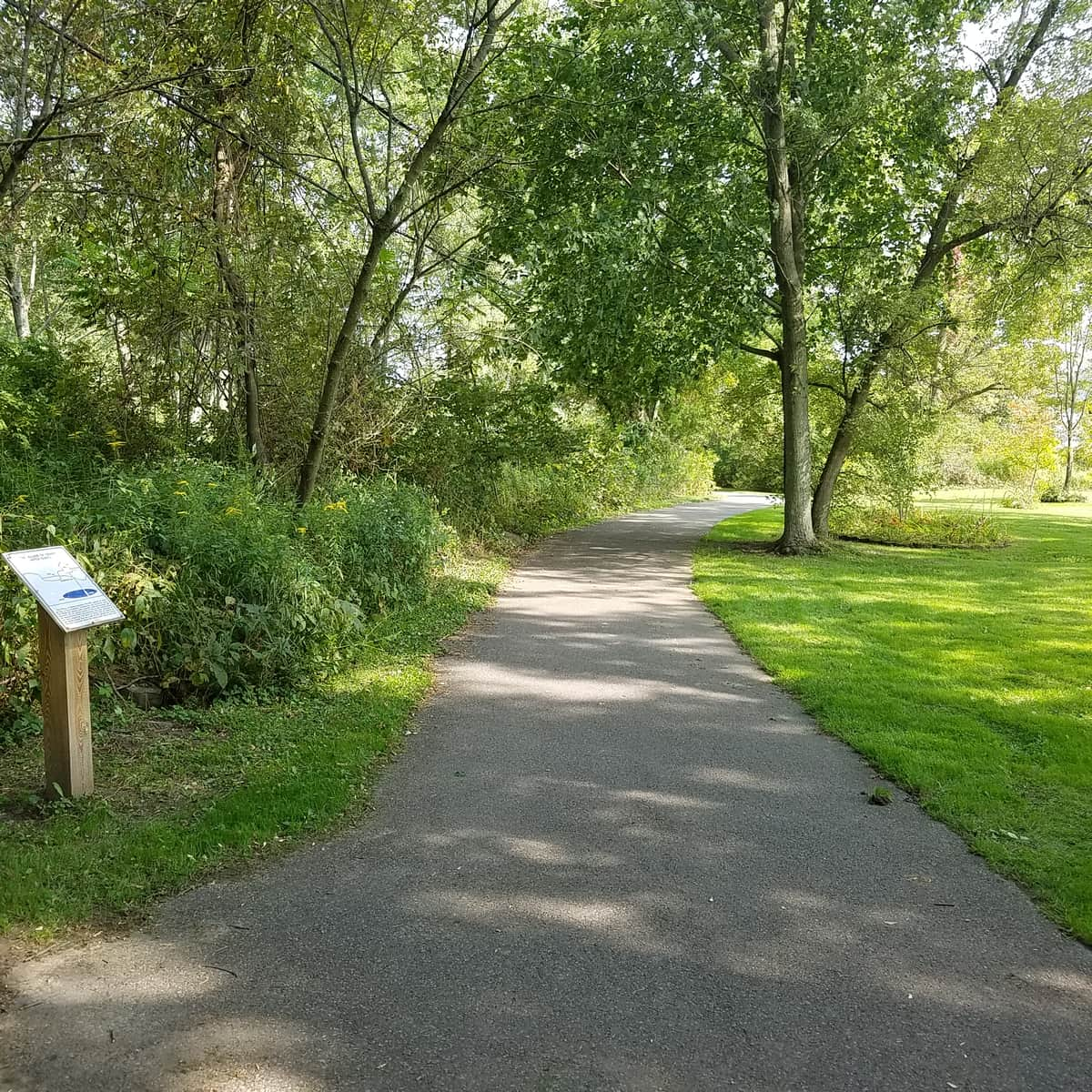

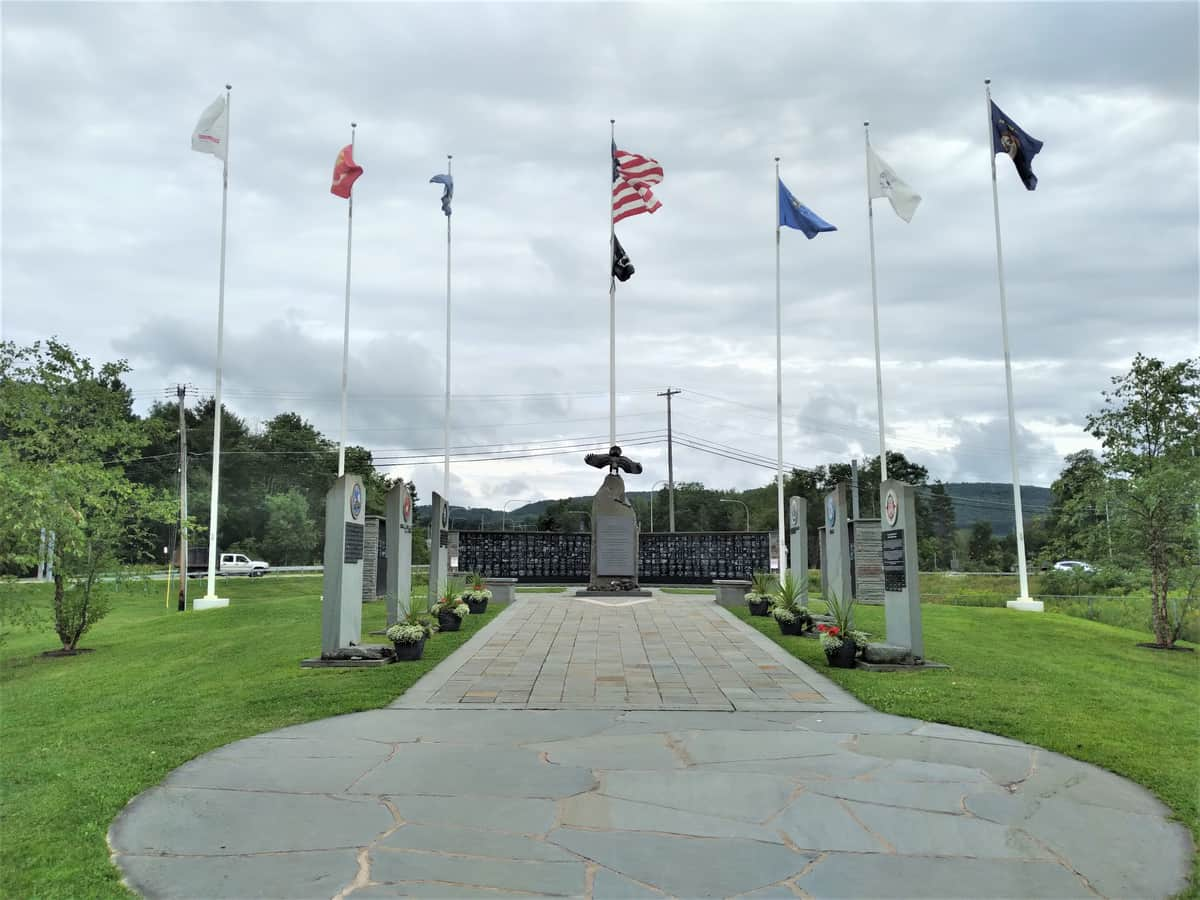

It certainly is different from walks in England!

8 Likes
The ducks look a bit confused 
2 Likes
I follow a UK girl on YouTube and I have to say that photos on here and her videos don’t make hiking in the UK look like a lot of fun.
Ironically I remember cycling all over Kent and Sussex as a teenager youth hostelling (is that still a thing?)


5 Likes
I shall be going there in the YT next month. on a mission . Not be climbing that hill though .
Did it many times in my younger days though .
3 Likes
That’s because they are actually Canadian geese…I misspoke. ![]()
2 Likes
Nice to hike when the Sun is shining and that’s mostly all I’ll do. When I was with a walking group a couple of years ago, it kind of gave motivation to get out even when the conditions were as shown in the video and some of the photos. Strangely, the weather sort of gave a challenge in itself. A ‘person against the elements’ feel to the walks. Also seemed to increase the camaraderie between the group. A bit of a laugh perhaps. All in all not a bad few hours despite the weather.
I think it depends on what has been got used to over the years. I could possibly have gone to Australia as a young person and made the land and the climate home as you have done. I’d more than likely enjoy holiday there even now if we could travel. Somehow though, I think I’d still be glad to get back to Surrey, England and the weather I’m used to.
1 Like


A photo from a U3A walk. It was taken just before the first lockdown. It is around the Puttenham area (near Guildford). I’m a solitary walker these days. This suits me better but I have some good memories of walking with the group.
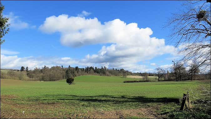
Edit: I use this photo as my Desktop wallpaper.
2 Likes
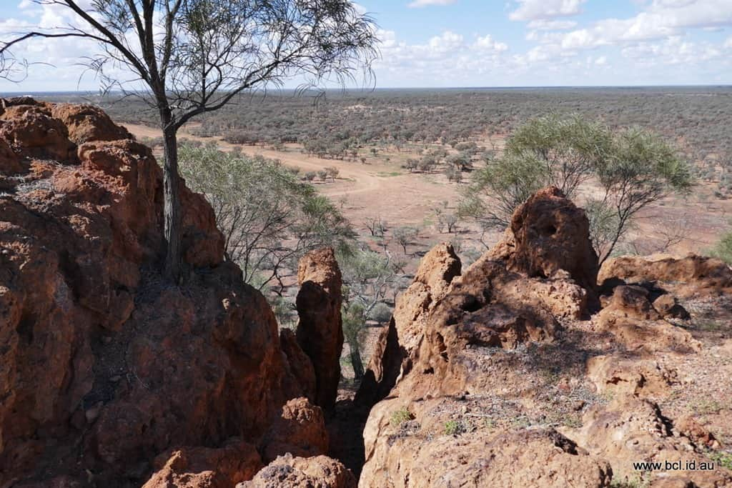
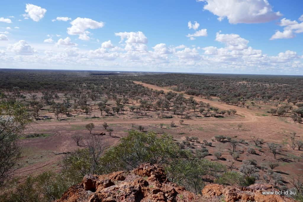
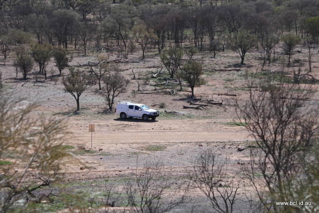
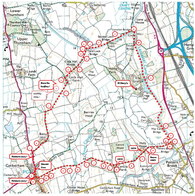
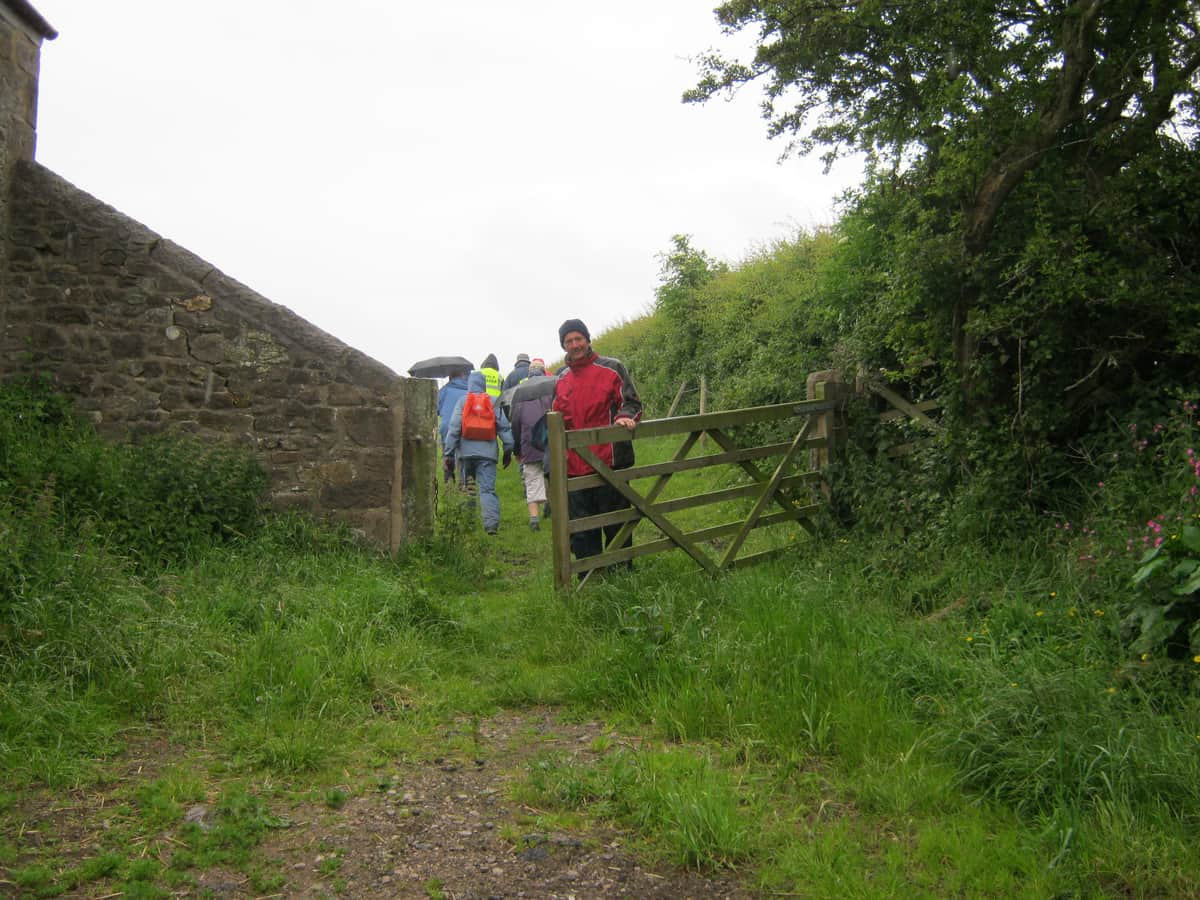
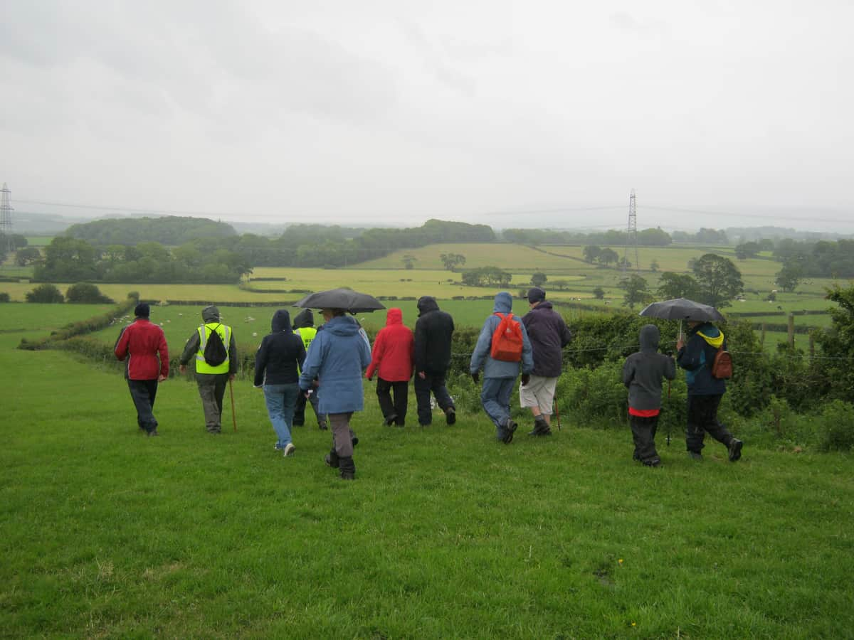
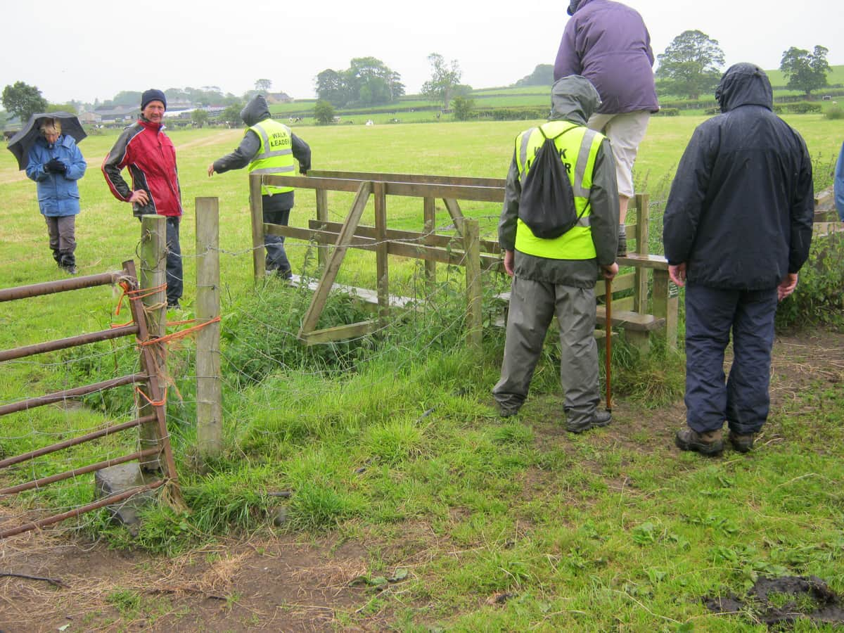
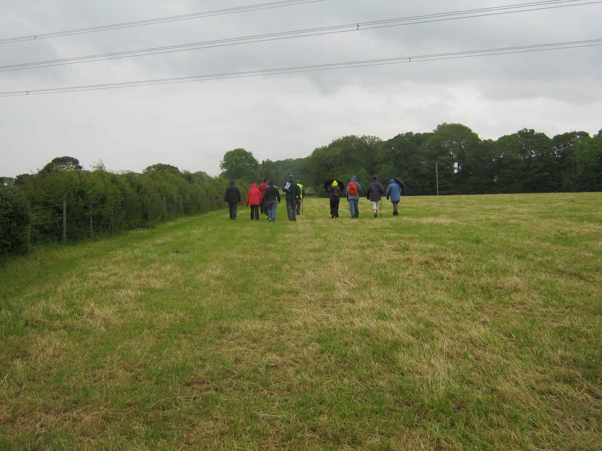
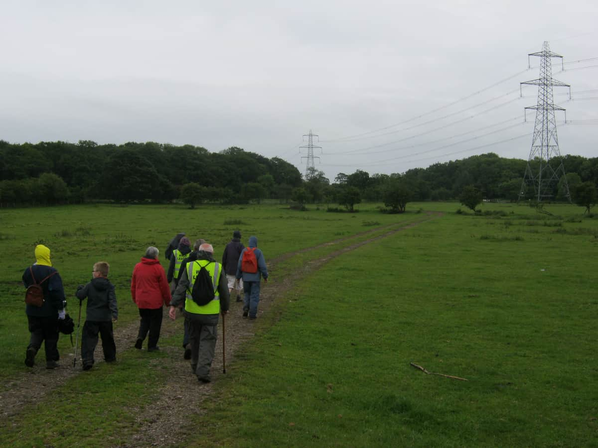
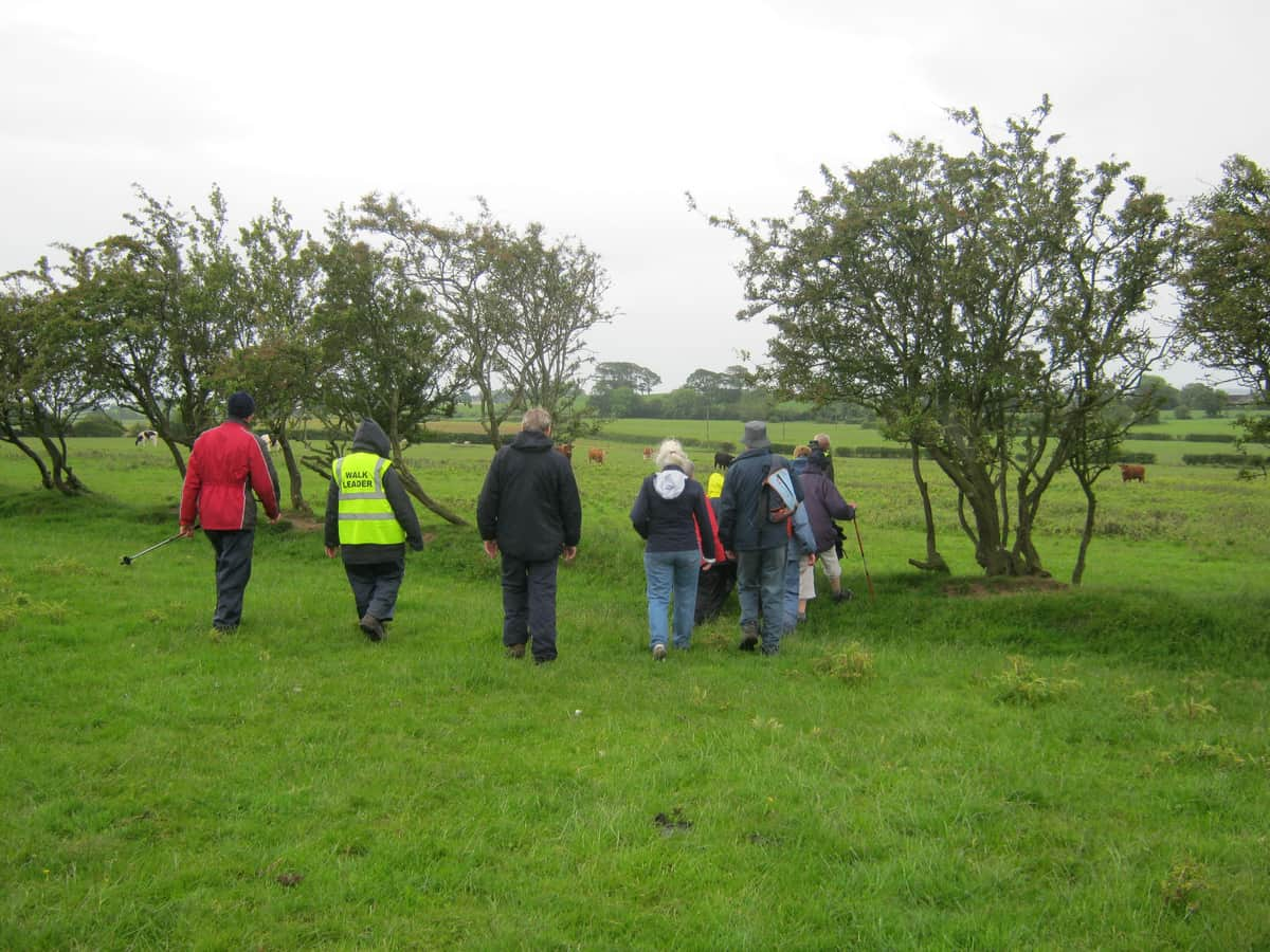
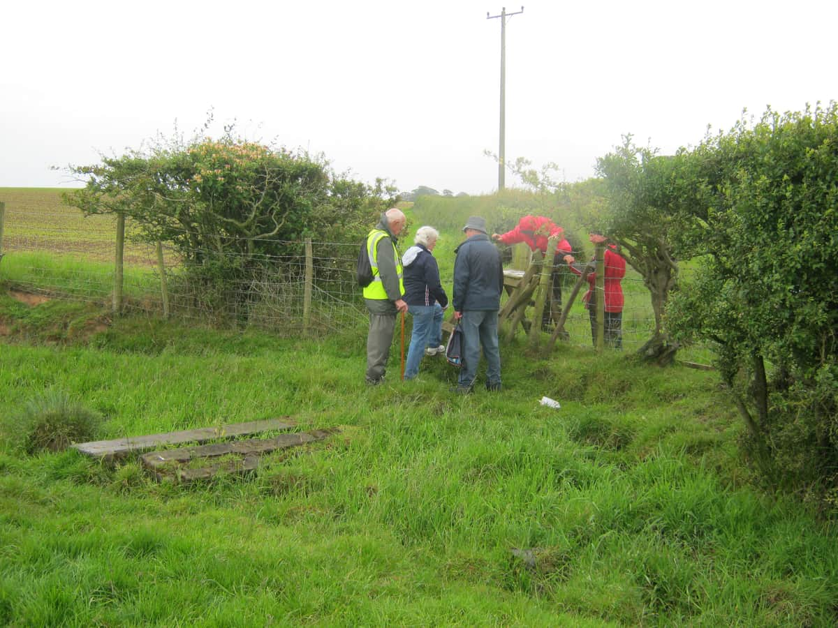
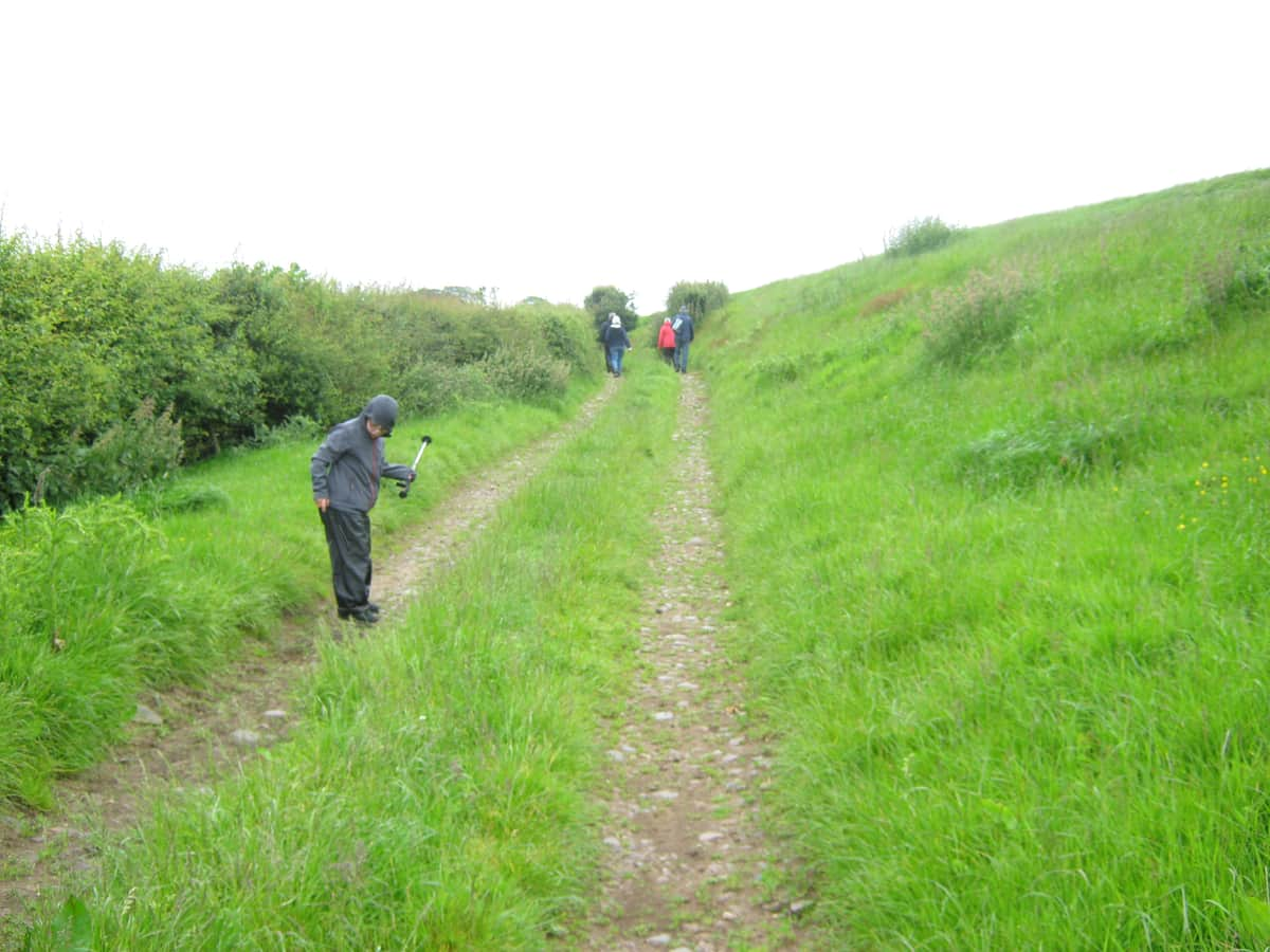
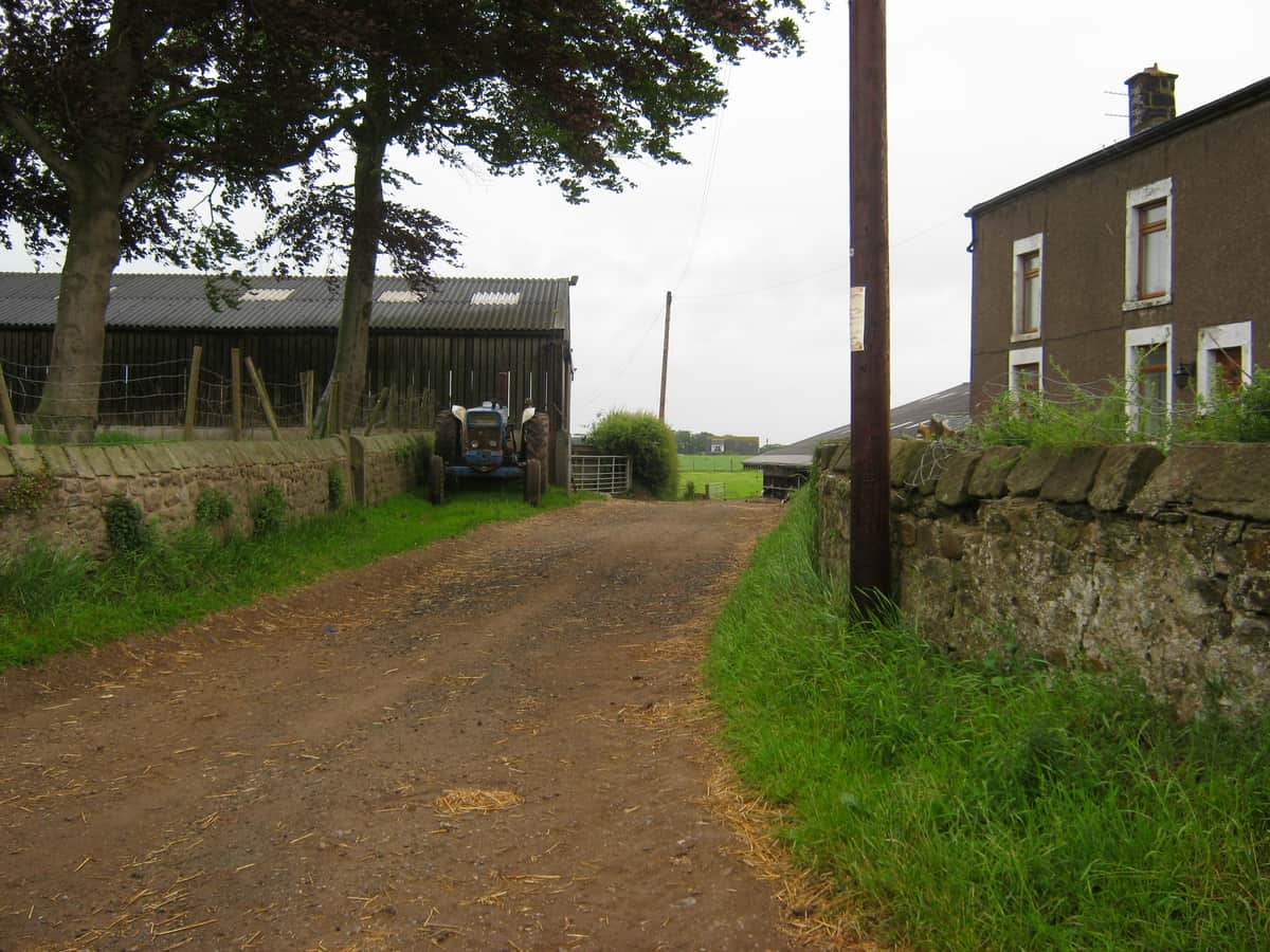
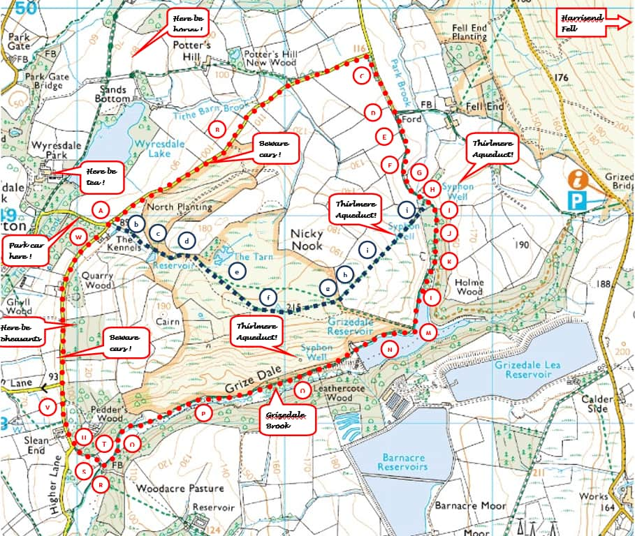
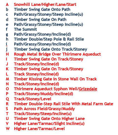
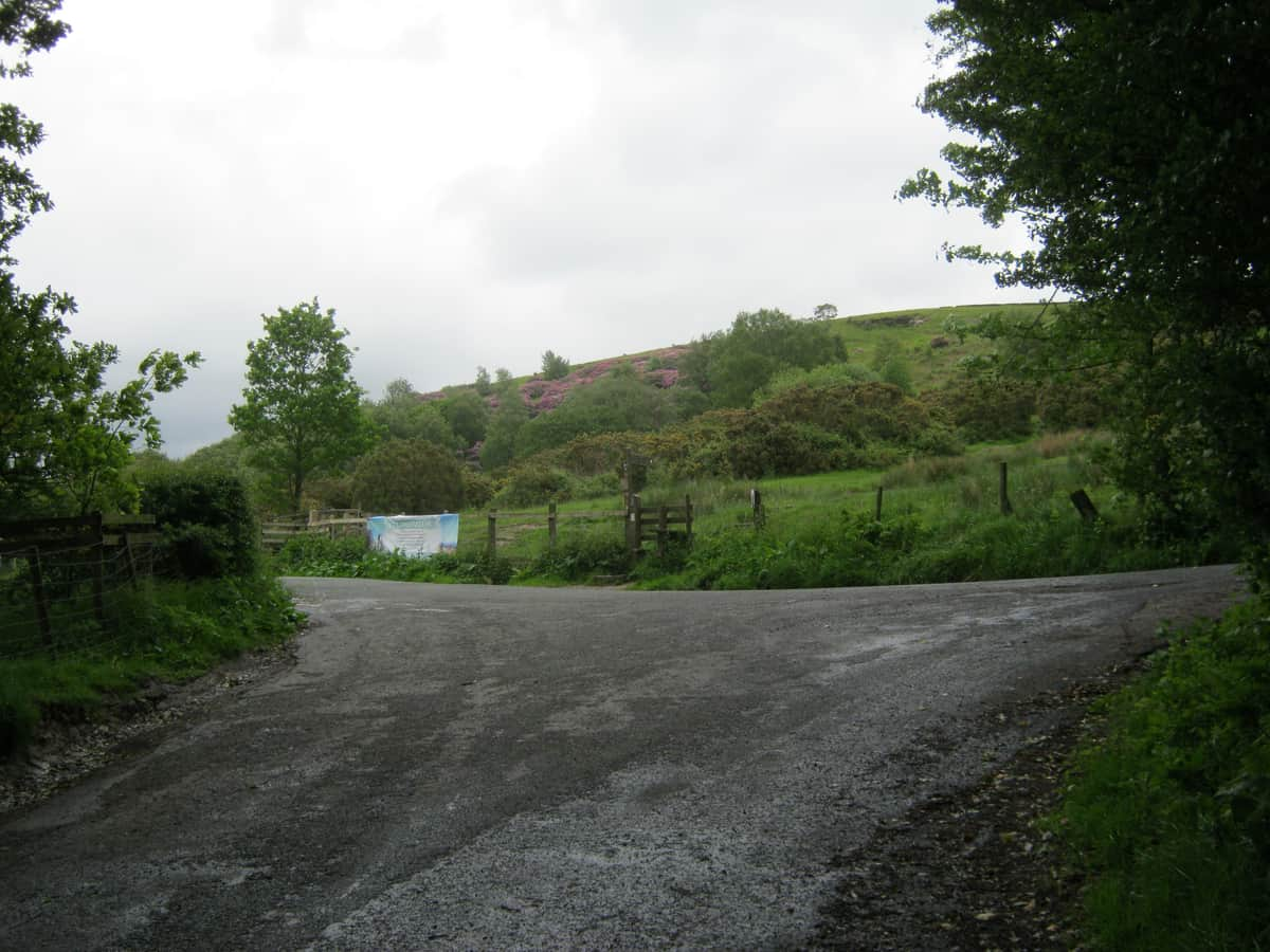
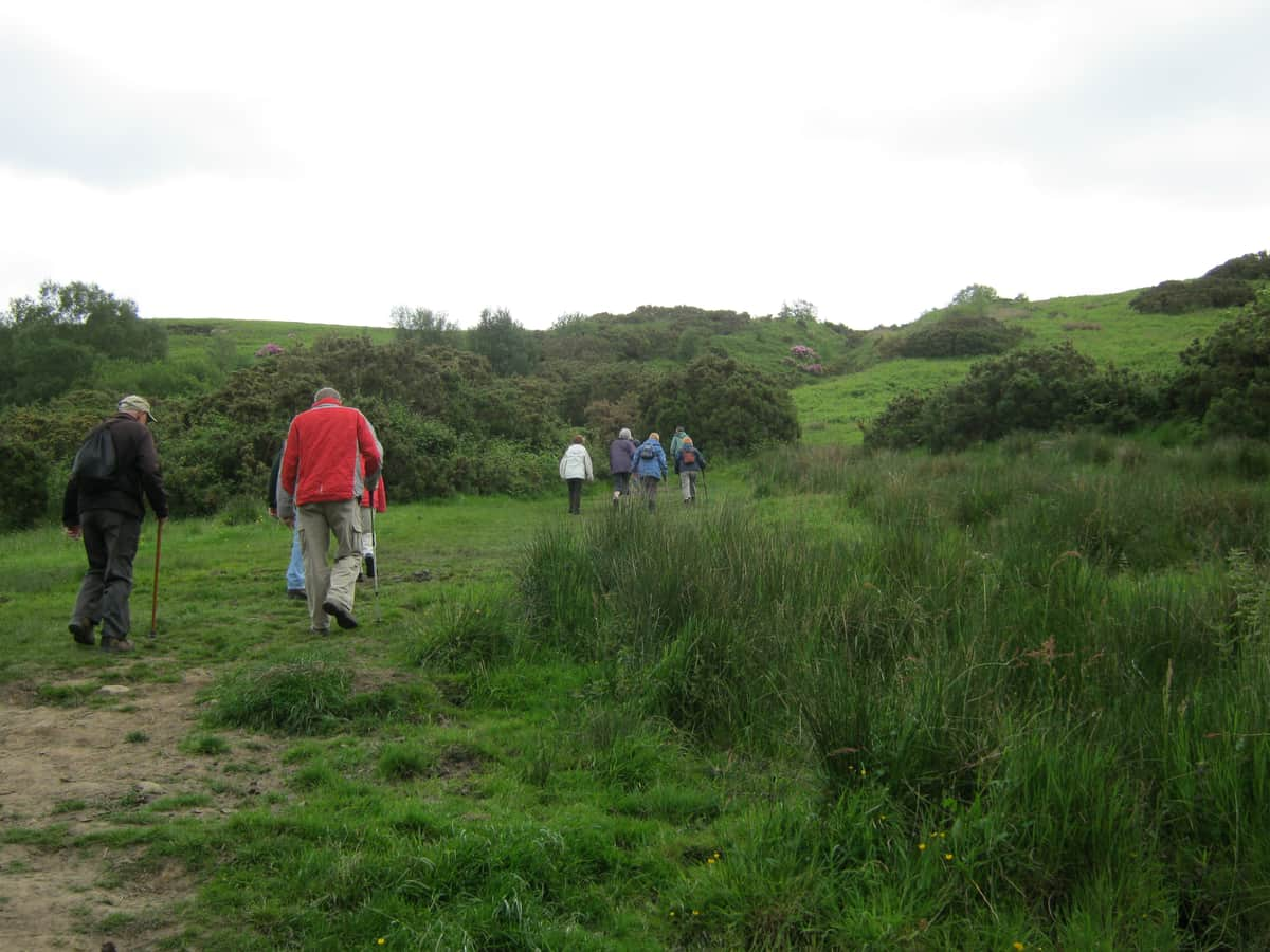
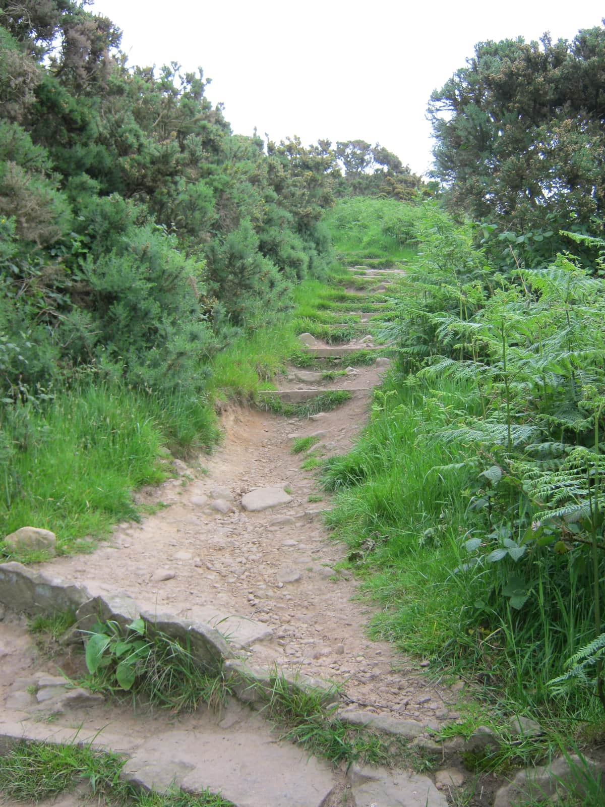
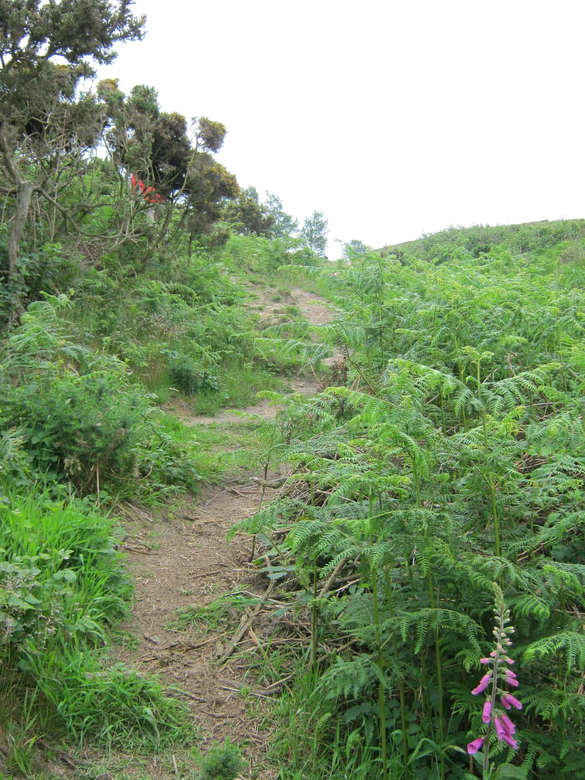
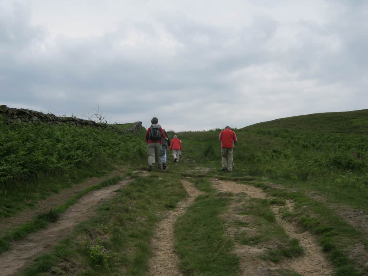
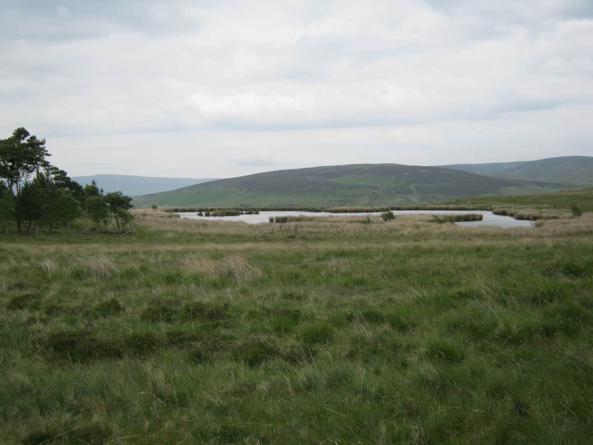
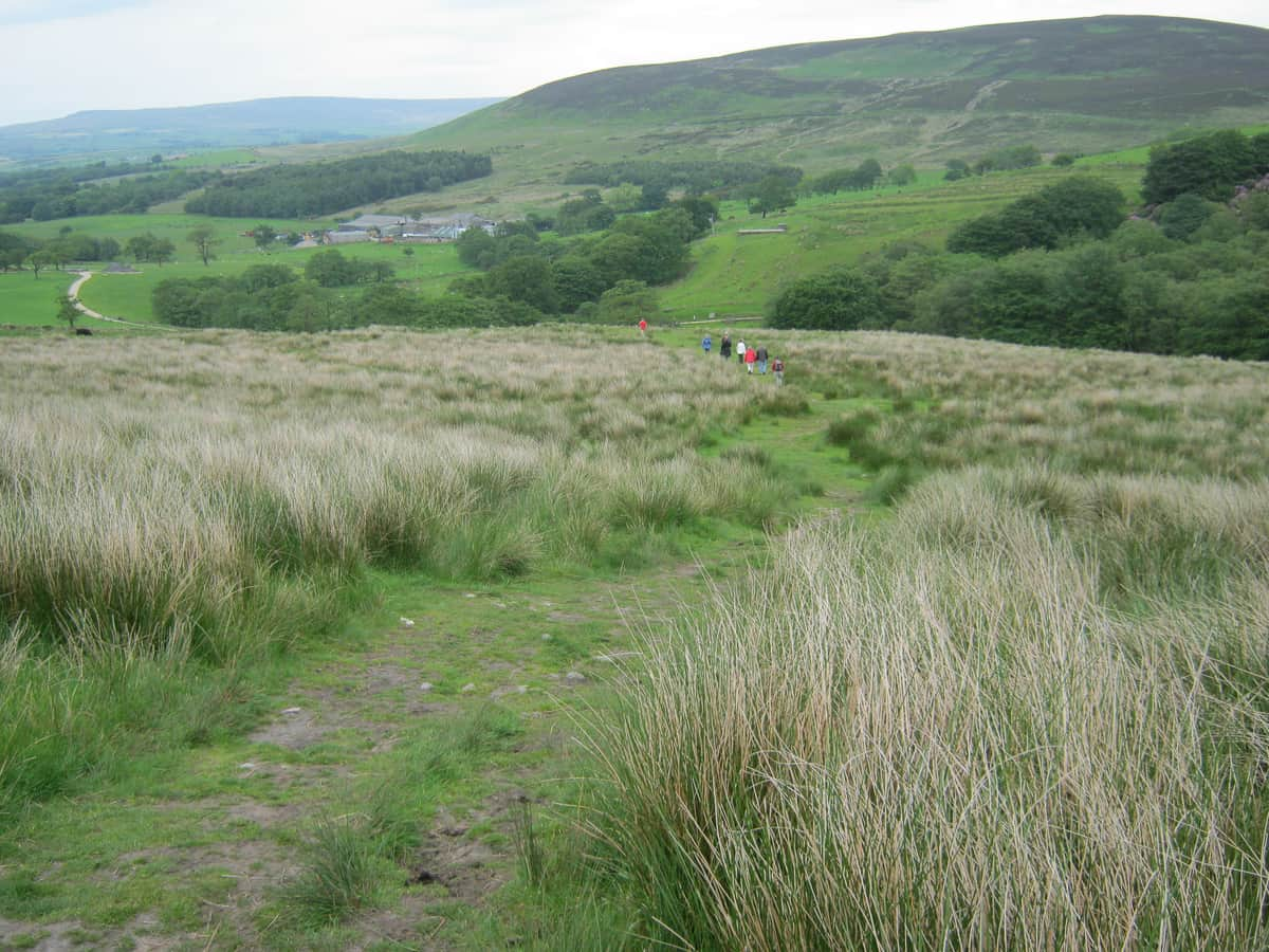
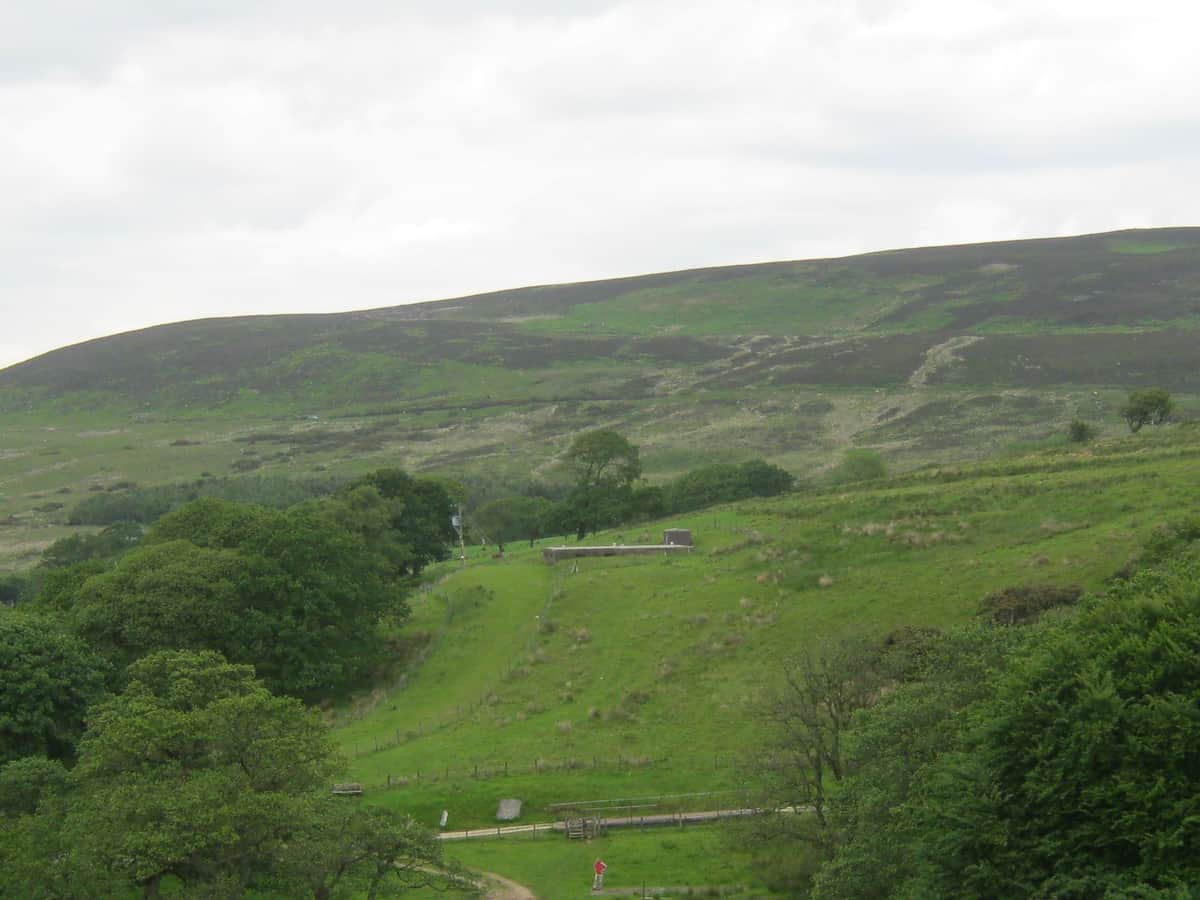
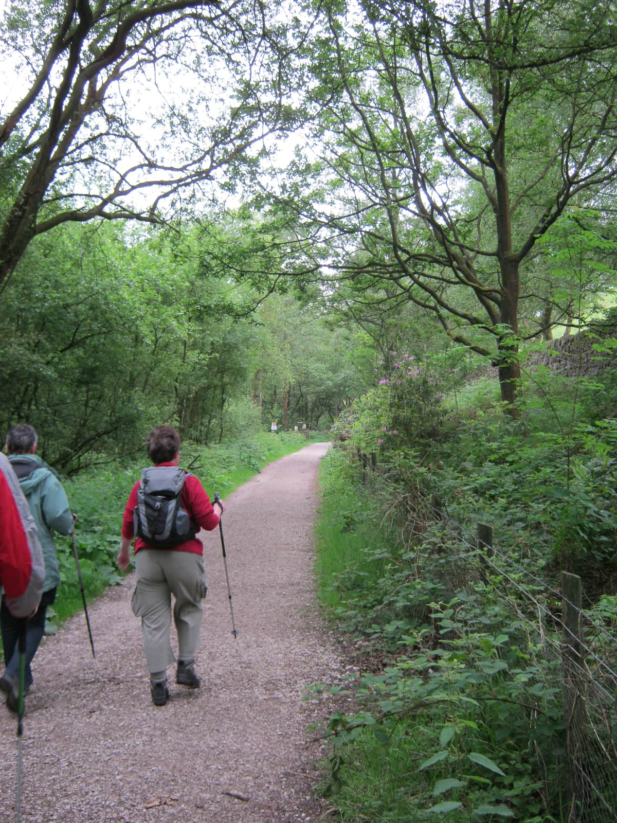
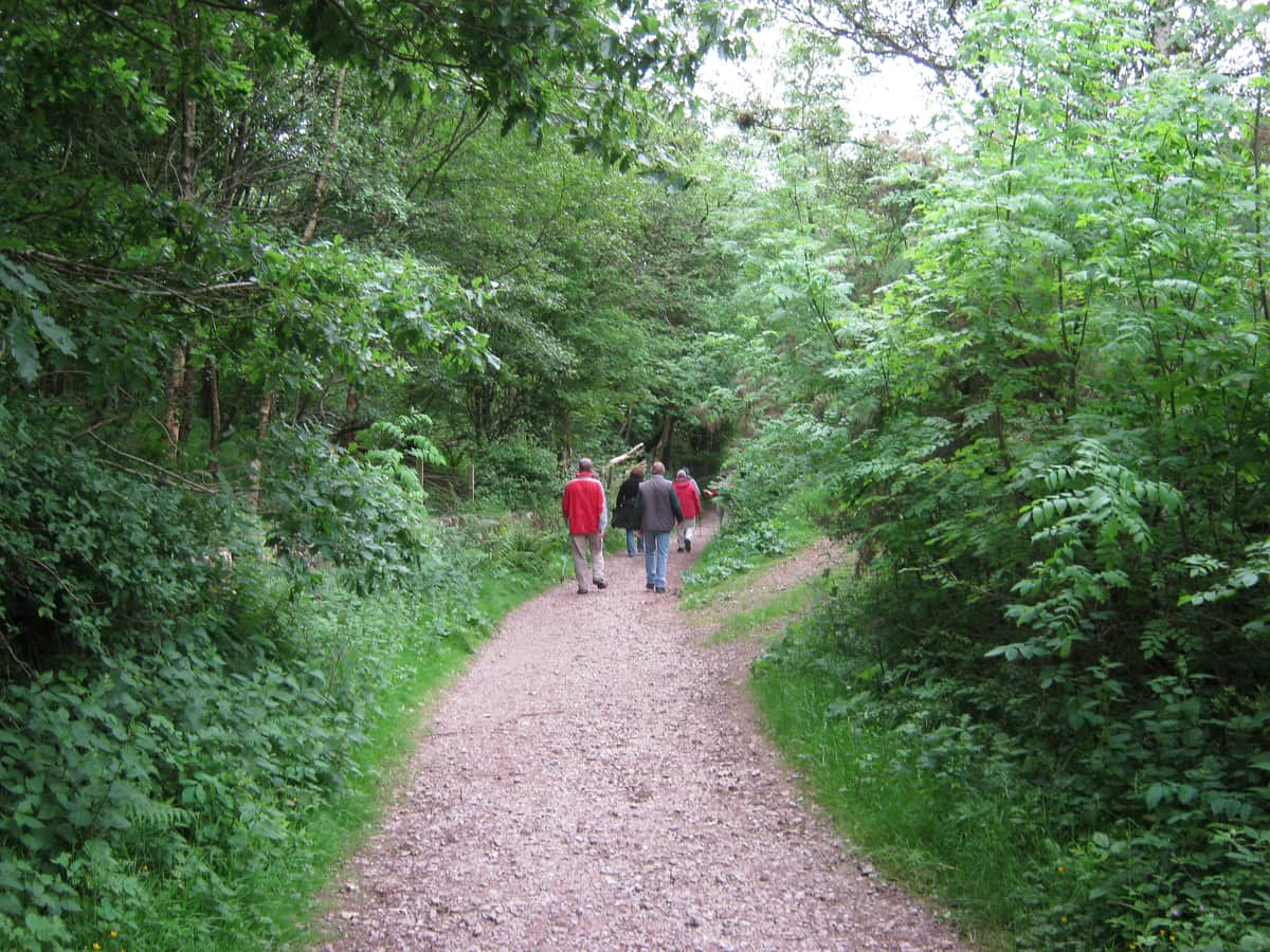
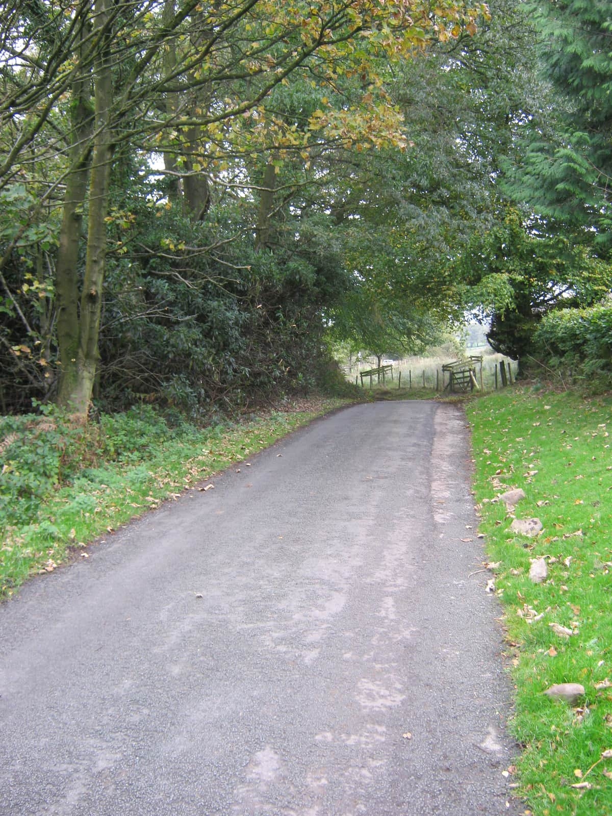
Scorton 2 Hour Nicky Nook Route 2 (Over)

Scorton is a small village situated in Lancashire, England, about 8 miles south of Lancaster and 13 miles north of Preston. Scorton is in the Forest of Bowland and is popular with day visitors, walkers and cyclists.
Scorton meaning ‘farmstead near a ditch or ravine’ is a village in the parish of Nether Wyresdale. It was developed around the cotton mill and railway in the nineteenth century, although there are records of the village and catholic church in Scurton, or Scorton, tracing back to the seventeenth century. It had its own railway station from 1840 until 1939.


5 Likes
loving all this hiking photos , keep them coming please . I will see if ive got some on my USB pens , from past times .
2 Likes
I too am a solitary walker apart from anything else the current restrictions only allow a maximum group of two to exercise together.
2 Likes
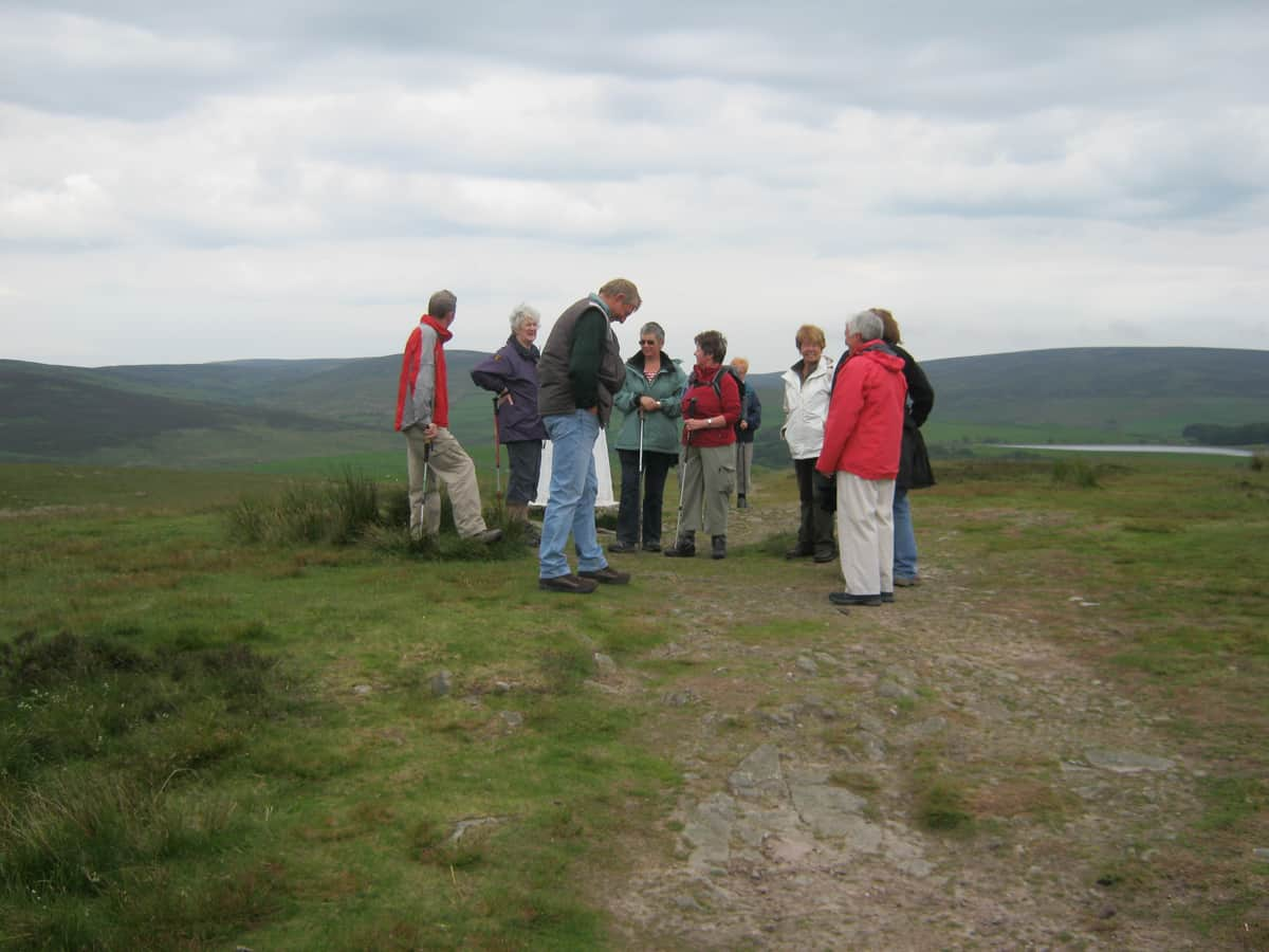
The U3A groups are walking here again now. I think they try to stick to certain distancing rules but I’m not sure what they are.
I found the groups good social occasions but the pace is only as fast as the slower walkers. That could be a bit restricting at times. I like to put a bit of a pace on.
1 Like
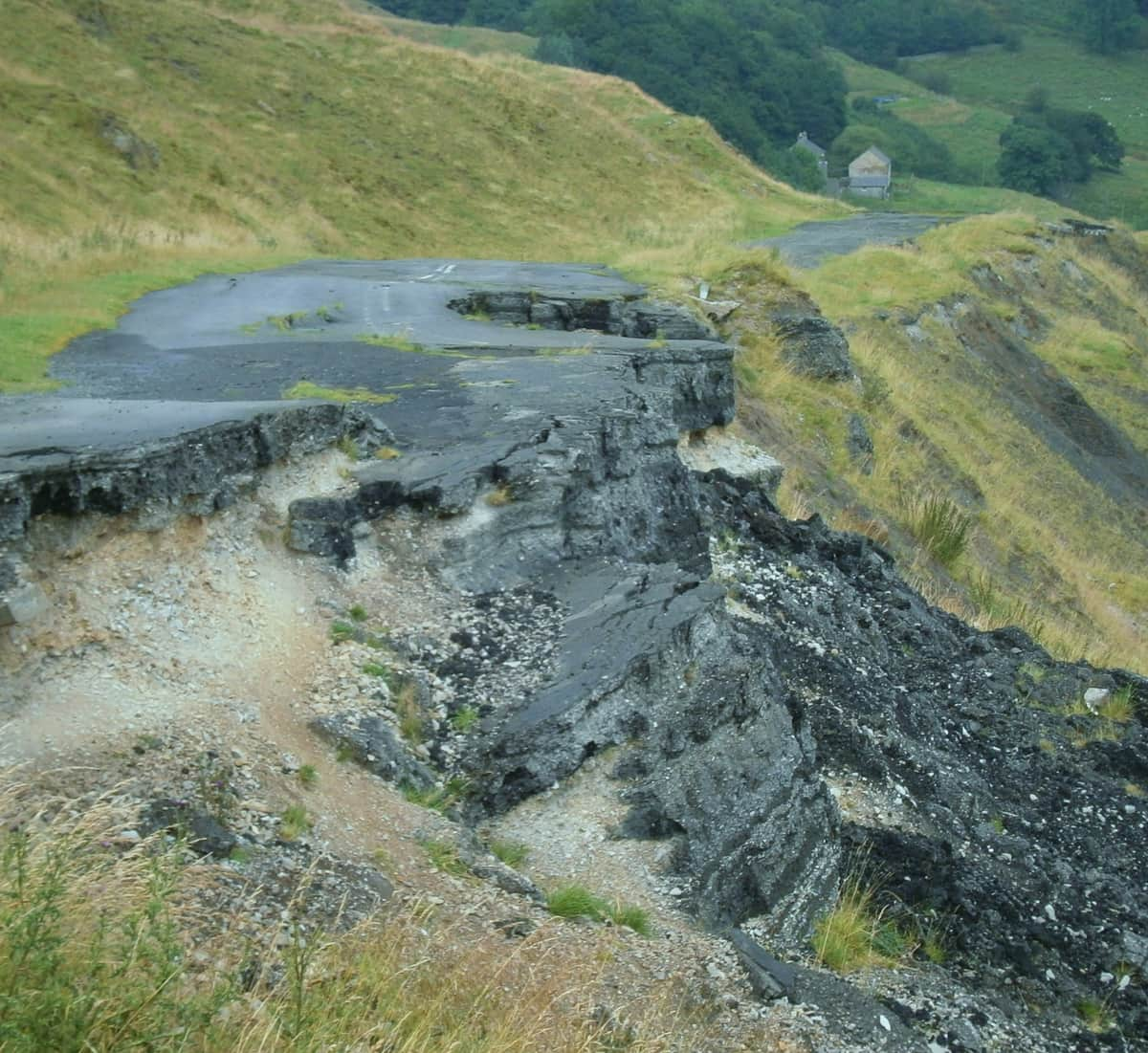
Mam Tor road closed to traffic ,due to the shivering mountain .
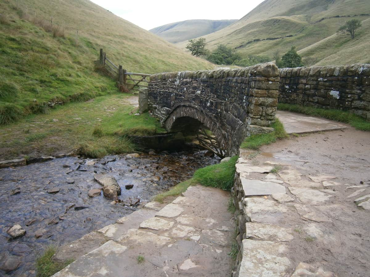
Edale … heading towards Kinder Scout

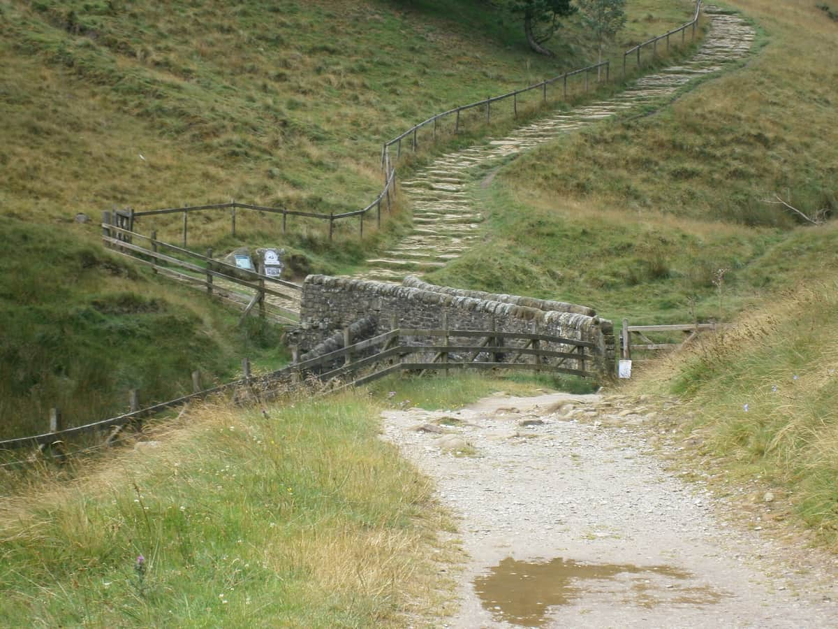
Pack horse Bridge and Jacobs Ladder
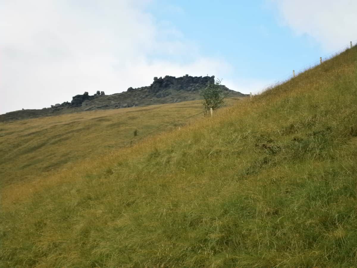
the top destination

6 Likes
Not too high, so my preferred type of walk …
1 Like
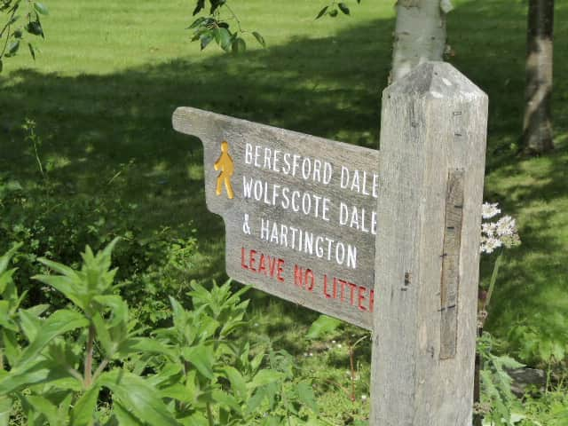
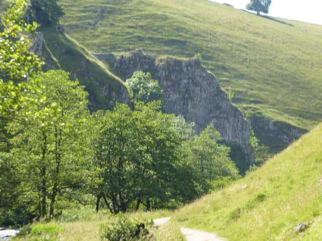
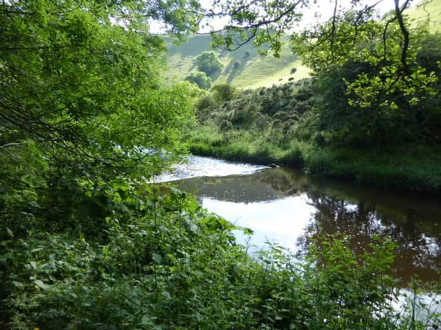
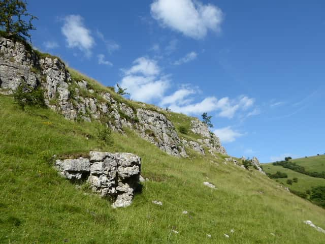
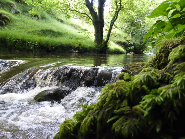
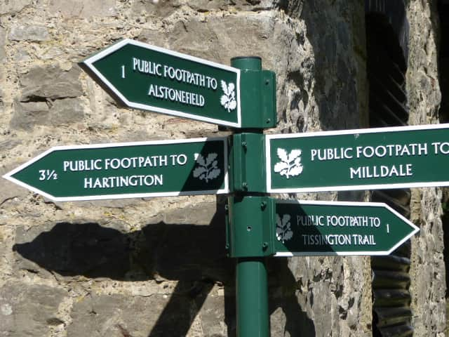
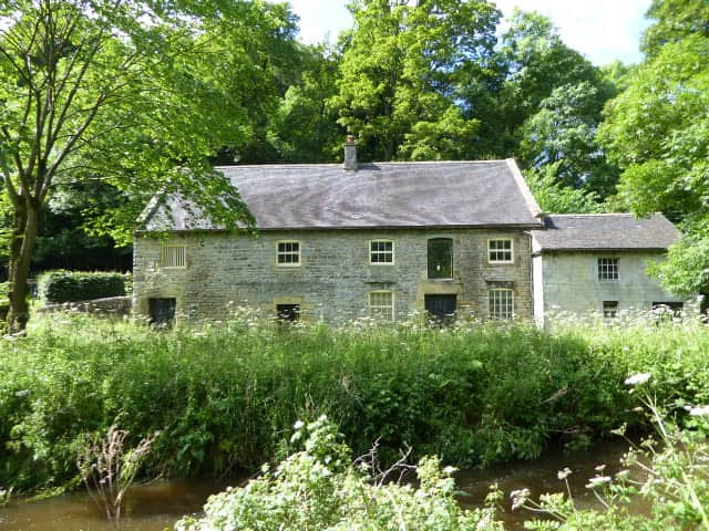
This is a nice flat walk from Milldale along the River Dove to Beresford Dale 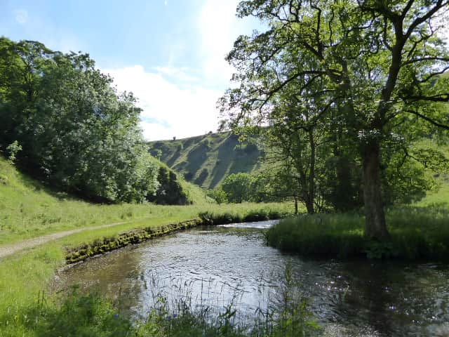
6 Likes
Beautiful … 
2 Likes
A winters Day in Edale


Walked along the top of these mountains , 8hr to get up and along top and down the other end , sometimes walk from Mamtor to Rushup Edge .
I would plan the walks and then tell them we will be walking up there . 
2 Likes
Too tough for me … ![]()
Apparently:
The village lies in the Vale of Edale and is surrounded by hills: the plateau of Kinder Scout to the north, where the highest point in the parish is found, the Great Ridge (running west to east between Rushup Edge over Mam Tor to Lose Hill) to the south and east, Win Hill to the east (outside the parish), and Dalehead (Brown Knoll, Horsehill Tor and Colborne) to the west. Almost the entire parish is over 200m above sea level; only along the River Noe east from Carr House does the elevation drop below this level.
The bed and banks of the River Noe from Barber Booth upstream to approximately the 320-metre (1,050 ft) contour constitute the Edale SSSI,[6] cited for geological interest.
200m is the height we climb to, e.g. Nicky Nook (see Scorton, above) … ![]()
2 Likes