Awesome Chilli, time for bed now but I certainly give it some looking on tomorrow…
![]()
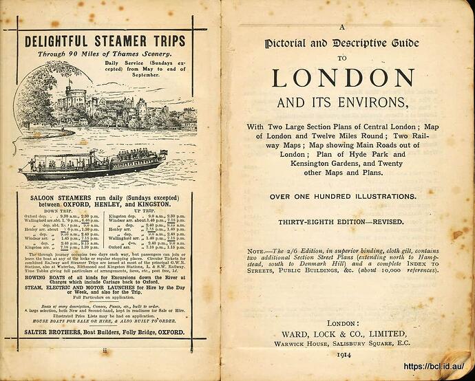
I have a very fine guide to London that I use whenever I visit, it is full of useful information. It is getting a bit tatty now but it will see me out.
I did well with history in class. Then I began to find out about how cruel it was. Now I have no use for history and only hope the future turns out better for those.
You should have lashed out on the 2/6d version Bruce, it would have lasted longer…
This is the one I like to use when travelling Britain…

This I find interesting. From 1746, you can see Park Lane/Oxford St with their old names, not much else has changed, other than not much development north of there.
Half a crown? on a map book? are you mad?
Nice one d00d…
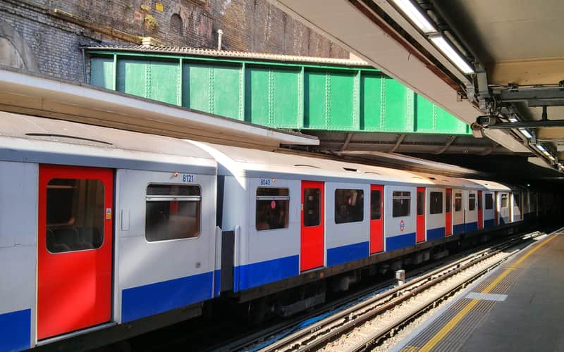
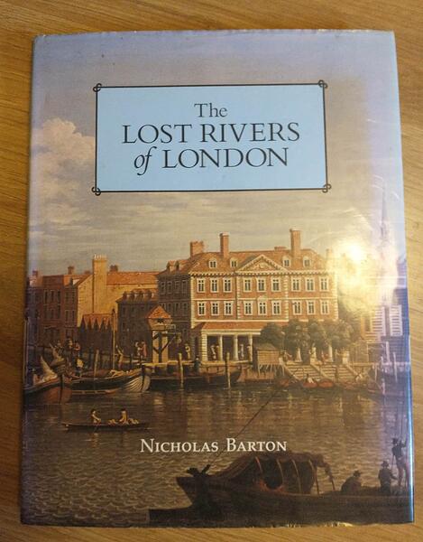
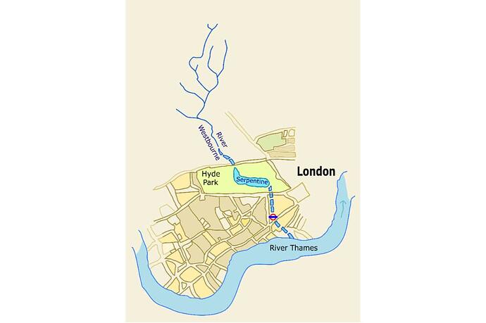
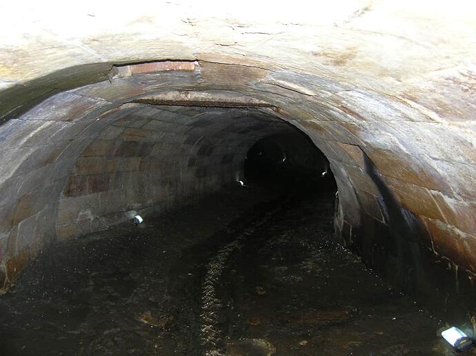
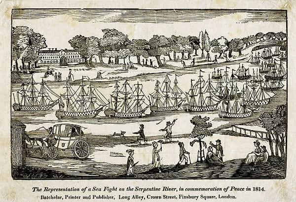
Wasn’t The Serpentine so much smaller back then, it was originally fed by The River Westbourne although I don’t believe it still is today. The river now runs through a conduit above the platforms at Sloane Square underground station.
Not a lot of people know that ![]()
The spelling of Hide Park is interesting.
I bet they thought the spelling of Hyde Park in Sydney was better and copied it ![]()
That’d be it, thank you Bruce, how I could kick myself! ![]()
The Aussies love their Ys. I mean, look at Sydney!
@Chilliboot I didn’t know that about the aqueduct at Sloane Sq. And I thought the Westbourne still fed the Serpentine, but no. That changed in 2011 when it was found to be polluted.
and Wikipedia says:
In 1730 Queen Caroline, wife of George II, ordered the damming of the River Westbourne in Hyde Park as part of a general redevelopment of Hyde Park and Kensington Gardens. Original monastic ponds may have existed in the location and these were modified as part of the 1730–1732 scheme to create a single lake. At that time, the Westbourne formed eleven natural ponds in the park. During the 1730s, the lake filled to its current size and shape.
Back in the sweltering drought year of 1976 my mum took me to cool of in The Serpentine Lido. I have no idea if it was a consequence of the water being unclean but I spend the next couple of days almost covered in calamine lotion to soothe the rash that had coincidentally developed over most of my body.
The underground station on the map is Knightsbridge, any bridge over the river long since gone of course.
Sounds nasty. But isn’t calamine lotion used for sunburn?
I think it’s just a tiny underground stream. I think it took two years to flood Hyde Park to make the Serpentine lake.
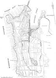
Sydney has its Tank Stream originally the water supply for the new colony. It is all underground now but once every couple of years or so they take guided tours down it’s length.
Because it is only happens rarely it is always very oversubscribed and places are balloted. I have been putting my name down for about 50 years and still never been picked to go. I think my time has passed.
Thanks for posting this. I love then and now maps and photos.
I’ve been using one of the maps from the same website for a while that covers just the West Country, which seems to use a different version of the “old map” from your original post as it shows all the local rhynes (drainage ditches/dykes) including one that runs under my property.
Side by side georeferenced maps viewer - Map images - National Library of Scotland (nls.uk)
Now, thanks to you, I’m probably going to waste several more hours looking at parts of the country where I used to live. ![]()
Ha!
I’m sure there are worse ways to waste time, I’m just the same, looking at places I used to live, visited, went on holiday etc ![]()
Enjoy! ![]()
living in 1066 area of the UK history is all around me
Yes I lived in 1066 area also and before that Beddington Surrey also very historical which often people do not see or know about…I enjoy History so I do know how Beddington is very Historical with just one example… Carew Manor owned by the Carew Family and poor old Nicholas Carew crossed Queen Anne and then it was off with his Head…

